
|
Fort Davis Hotels and Resorts
|

|
|
| | | Hotels & Motels |
| Butterfield Inn Cottages | 201 State St | Fort Davis, TX | | (432) 426-3252 | | The Thunderbird Hotel | 601 W San Antonio | Marfa, TX | 20.9 mi. | (432) 729-1984 | | Alpine Classic Inn | 2401 E Hwy 90 | Alpine, TX | 21.1 mi. | (432) 837-1530 | | Ramada Limited Of Alpine | 2800 W Hwy 90 | Alpine, TX | 21.1 mi. | (432) 837-1100 | | Oak Tree Inn | 2407 E Holland Ave | Alpine, TX | 21.6 mi. | (432) 837-5711 |

|
Fort Davis Weather & Climate
|

|
|
|
West Texas has a semi-arid to arid climate. This region is the farthest region west in the state, and consists of the Chihuahuan Desert and isolated mountain ranges. This is also known as Big Bend Country Texas and the Trans-Pecos Region. This is the driest region of Texas, receiving on average only 16 inches of rain (or less) per year. It also has the most clear days statewide during fall, winter and spring. The desert regions have an arid climate, while the mountains areas have a somewhat wetter and more temperate environment. Winds in west Texas are strengthened as they are forced to push through canyons and valleys. Humidity during the hot months is 27 out of 100, which is comfortable. The U.S. average on the comfort index is 44.
|
| Month |
High Temp |
Low Temp |
Rainfall |
Ocean Temp |
| January |
61°F |
28°F |
0.43 in. |
- |
| February |
65°F |
31°F |
0.35 in. |
- |
| March |
71°F |
36°F |
0.34 in. |
- |
| April |
79°F |
42°F |
0.50 in. |
- |
| May |
85°F |
51°F |
1.46 in. |
- |
| June |
91°F |
58°F |
1.79 in. |
- |
| July |
89°F |
61°F |
2.95 in. |
- |
| August |
87°F |
59°F |
2.97 in. |
- |
| September |
83°F |
54°F |
2.76 in. |
- |
| October |
78°F |
44°F |
1.29 in. |
- |
| November |
68°F |
34°F |
0.49 in. |
- |
| December |
62°F |
29°F |
0.53 in. |
- |

|
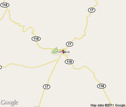
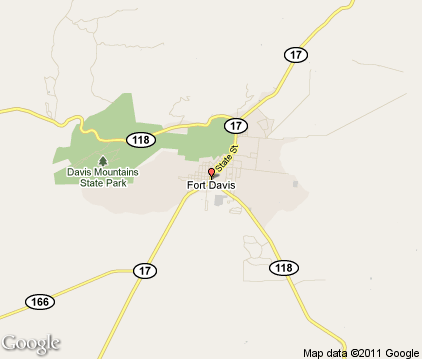
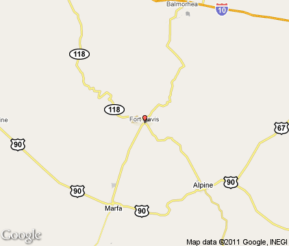
Fort Davis Map & Transportation
|

|
|
 |
|
|
| Click each thumbnail image to enlarge. |
 |
|
 |
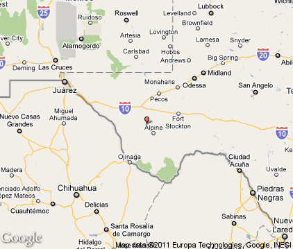 |
The closest airports in the area are the Marfa Municipal airport (MRF) located about 16 miles southwest of Fort Davis in Marfa, Texas, the Alpine Casparis Municipal airport (E38) located approximately 18 miles southeast of Fort Davis in Alpine, Texas, the Pecos Municipal airport (PEQ) located roughly 59 miles northeast of Fort Davis in Pecos, Texas, the Culberson County airport (VHN) located around 61 miles northwest of Fort Davis in Van Horn, Texas, and finally the Fort Stockton Pecos County airport (FST) located about 62 miles east of Fort Davis in Fort Stockton, Texas.
|

|
Fort Davis Attractions
|

|
|
| | | Golf Courses |
| Marfa Municipal Golf Course | Marfa | TX | 18.8 mi. | | | Alpine Country Club | Alpine | TX | 21.6 mi. | |
| | | State Parks |
| Davis Mountains State Park | | TX | 1.5 mi. | | | Balmorhea State Park | | TX | 25.2 mi. | |
Notice a problem with the information on this page? Please notify us.
|
Disclaimer: We recommend you conduct your own research regarding all accomodations and attractions found on this website. The distances shown on this website are straight-line distances as the crow flies. The road distance may be considerably longer. You assume all liability for use of any information found on this website. No information is confirmed or warranted in any way. By using our services you agree to the terms and conditions of this disclaimer.
|
| We are the #1 site for your Texas Vacations presenting Texas vacation rentals, hotels, weather and map for each city. |
Texas Vacations .com
©1997-2025 All Rights Reserved.
|